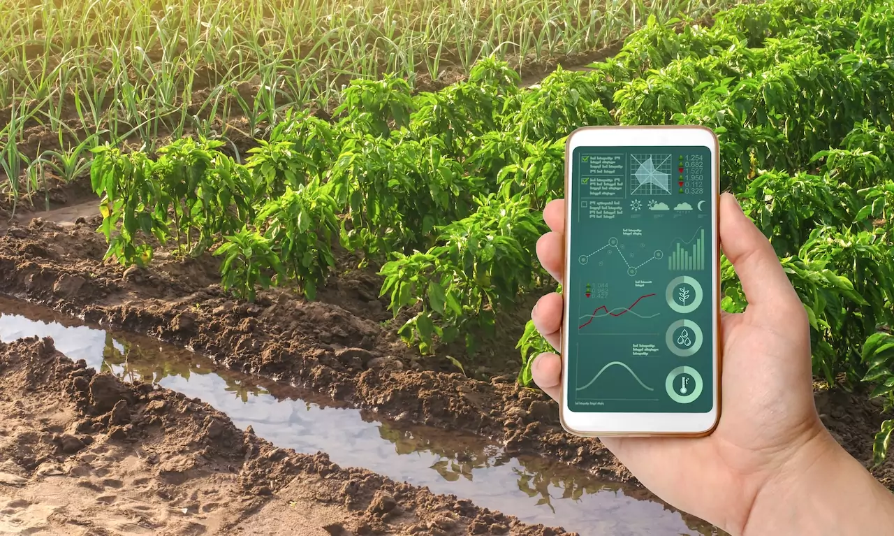
In recent years, we have witnessed the emergence of dozens of startups that, in different ways and technologies, promise to “revolutionize” agriculture by harnessing satellite imaging. The basic idea is simple: collect data from Space to monitor the status of crops, predict yields and diseases, identify water stresses, and even assess damage after extreme weather events. However, as has already been the case with blockchain, the technology by itself does not define a sustainable business model. It needs a well-defined problem and a market willing to pay to solve it.
The real problem: finding the “pain” that matters
One of the main obstacles to these solutions is figuring out who is really willing to invest in satellite data. We often look to farmers as potential customers, but most of them, especially if they are medium or small, do not have sufficient budgets for such advanced services. The farmer is more interested in simple, integrated solutions that provide tangible savings (e.g., less water or fertilizer) or increased productivity. Without a clear economic benefit, interest in satellite imaging wanes.
Insurance companies: a potential (and narrow) pool
The other direction is to target agricultural insurance companies, which are interested in assessing risks and managing claims more quickly and accurately. In theory, this is a solid and capitalized market, but it is also very narrow: a few large companies, often ready to develop their own solutions in-house or directly acquire the most promising technology. This means there is no room for dozens of similar players. Consolidation or a limited number of strategic partnerships are likely over time.
Examples of startups (and models for comparison)
- Planet (USA) – It has raised hundreds of millions of dollars and listed on the NYSE. It is one of the best known in the industry, thanks to a constellation of microsatellites that provide daily images of the Earth’s surface. It collaborates with several industries (defense, natural resource management, market research), including agribusiness.
- Satellogic (Argentina) – Has exceeded $230 million in investment and is distinguished by its fleet of lightweight, low-cost satellites, aiming for high-resolution coverage accessible to a wide range of customers, from governments to corporations.
- Descartes Labs (USA) – Founded as a data science lab, it has raised about $60 million and developed a cloud platform that integrates machine learning and satellite data. It offers predictive models, also used in agriculture to estimate yields and anticipate weather phenomena.
- EOS Data Analytics (Ukraine/USA) – Participates in the Noosphere ecosystem and has internal funds to develop agricultural monitoring solutions, integrating satellite data and processing algorithms for precision farming.
- xFarm (Italy) – The Italian flagship for its “one platform” approach : collecting not only satellite imagery, but also data from IoT sensors, agronomic analysis and business management tools. It has closed funding rounds totaling more than 20 million euros, aiming to expand globally. Here, satellite imaging becomes part of a broader ecosystem, making the service attractive to farmers and stakeholders with integrated needs.
Despite the different positioning of each, the common challenge remains the same: to turn images and data into real added value for supply chain actors or insurance companies when it comes to claims and risk assessment.
What future for satellite imaging in agriculture?
We are likely to see consolidation: a few companies, those that are the most capitalized, have the best partners or a solid customer base, will continue to grow. The others will be incorporated, pivot, or exit the market. Some startups will seek to become full platforms, offering agronomic consulting, IoT solutions, predictive analytics, and financial services in one package.
Another perspective is to make these infrastructure services, perhaps with the help of European or consortium programs, by lowering the cost of access. This is the path pursued by some international initiatives, such as ESA’s Copernicus program, which offers free, quality data on which several companies are building layers of value-added services.
Conclusions
Satellite imaging, taken in isolation, is not a business strategy: it is a tool that must fit into a sustainable, problem-oriented model. If farmers do not perceive an economic return and insurance is a limited (and difficult) market, many of these solutions risk not breaking through. The most likely outcome is a natural selection, where a few large players or integrated platforms will survive, capable of solving a real “pain” and offering concrete answers to the needs of the agribusiness supply chain.
Note to reader: the author is CEO of Beeco and works with investment funds active in agritech, which may have supported or will support some of the startups mentioned in the future.
ALL RIGHTS RESERVED ©